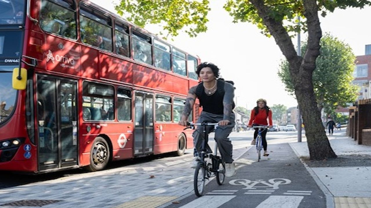
Transport for London and Google Maps collaborate to make cycling better for Londoners and people across the world.Cycling updates to Google Maps now take account of traffic conditions and the availability of high-quality cycling infrastructure.The option of a less busy route or one with dedicated cycling infrastructure will make more journeys safer and easier.In total, these changes on Google Maps can improve more than 60 million cycling journeys across London and the rest of the world every month.These changes begin now and with ongoing feedback to improve further. It is anticipated most users in London will have access by the end of the year.Enhancements to cycling navigation in Google Maps are set to benefit millions of Londoners, following a collaboration between Google and Transport for London (TfL). Informed by TfL insights, Google has updated their algorithms to prioritise cycling on safer, quieter roads and make them easier to discover within Google Maps.
The update will help to make cycle journeys in the capital even safer and more comfortable for everyone who uses the app to navigate journeys in London. In July 2022, TfL hosted an innovation summit to understand some of the key problems for people cycling and to work out how to improve them. The cycling community highlighted that some of the key barriers to cycling include the need for travel planning tools to include up-to-date data. TfL and the boroughs have delivered more than 340 kilometres of cycle routes in London, however existing digital journey planners do not always take these into account and therefore do not always provide the best route for cycling.
Since the summit, Google has worked with TfL’s Open Innovation team and TfL’s industry-leading experts to help solve some of the problems presented and ultimately improve cycle routing in Google Maps. This new collaboration approach has allowed TfL to provide pre-launch feedback on product enhancements and means TfL can continue to feedback as the product develops further.
To complement the changes made for safer cycle route choices, Google Maps is also in the process of rolling out new additional features to improve cycling in the capital. Users will be able to see the detailed breakdown of the route itself so at a glance they will see what type of road they’ll be cycling on, for example, if it’s a major road or a segregated cycle lane.
Google has also announced Immersive View for cycle routes on Google Maps, which lets users preview routes in advance, including all the cycle lanes, and junctions along the journey. This feature will begin rolling out this year in London and other select cities around the world. TfL will continue to work with Google Maps to refine the cycling routing experience during the roll out. People can also use the “Send Feedback” option in Google Maps if they spot any routes that have better alternatives.
London’s Walking and Cycling Commissioner, Will Norman, said: “The Mayor and I are committed to making cycling in London as safe and accessible as possible and have been working closely with Google. I’m delighted that Google Maps is enhancing the navigation system for cycling.